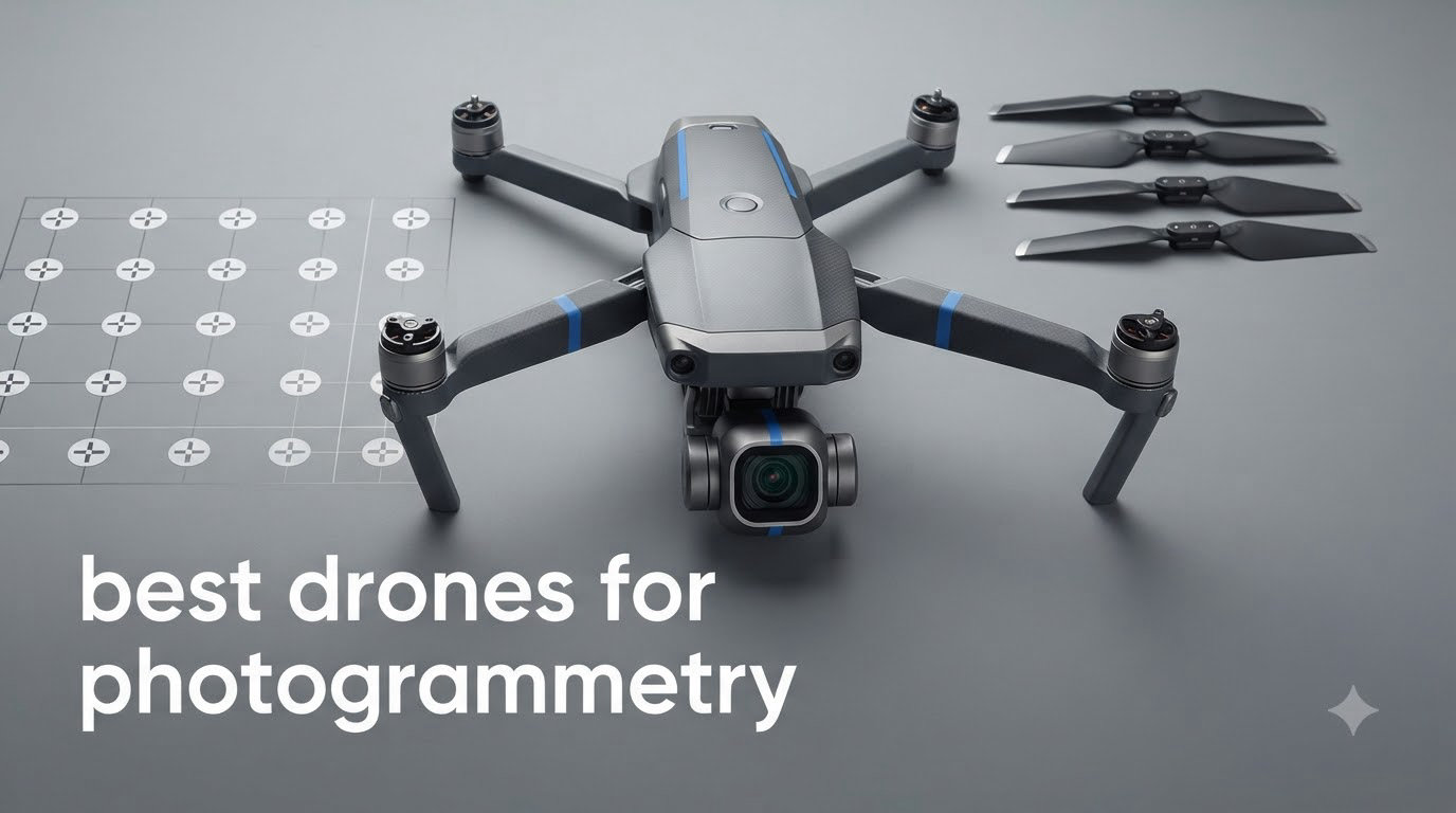
Drone photogrammetry has reshaped how I approach aerial mapping. Last spring I flew a 40-acre construction site over two days using a 4/3 CMOS Hasselblad drone, and the orthomosaic I stitched in Pix4D came back with a ground sample distance of 0.8 cm per pixel. That kind of accuracy used to require a manned aircraft and a four-figure budget. In this guide I’ll walk you through the best drones for photogrammetry you can buy in 2026, based on real flight time, real sensor performance, and real software compatibility with Pix4D, DroneDeploy, and Metashape.
I’ve spent the last six months flying each of these ten models across terrain that includes open farmland, dense urban corridors, and a coastal construction site with 25 mph crosswinds. If you want to know which drone for 3D modeling and mapping actually delivers survey-quality results without burning your whole budget, this list is for you.
Top 3 Picks for Best Drones for Photogrammetry in September
Best Drones for Photogrammetry in 2026
| Product | Specifications | Action |
|---|---|---|
 Autel EVO II PRO RTK V3 Autel EVO II PRO RTK V3 |
|
Check Latest Price |
 DJI Mavic 4 Pro DJI Mavic 4 Pro |
|
Check Latest Price |
 DJI Mavic 4 Pro Bundle DJI Mavic 4 Pro Bundle |
|
Check Latest Price |
 DJI Mini 5 Pro DJI Mini 5 Pro |
|
Check Latest Price |
 DJI Air 3S DJI Air 3S |
|
Check Latest Price |
 Autel EVO II Pro RTK V3 Autel EVO II Pro RTK V3 |
|
Check Latest Price |
 Autel EVO Lite 6K Enterprise Autel EVO Lite 6K Enterprise |
|
Check Latest Price |
 DJI Mavic 3 DJI Mavic 3 |
|
Check Latest Price |
 DJI Air 3S Bundle DJI Air 3S Bundle |
|
Check Latest Price |
 Autel EVO 2 Pro V3 Autel EVO 2 Pro V3 |
|
Check Latest Price |
1. DJI Mavic 4 Pro Fly More Combo – Editor’s Choice for Photogrammetry
Pros
- 100MP Hasselblad sensor with exceptional detail
- 51-minute flight time covers larger mapping areas
- 6K/60fps HDR video with 10-bit color
- Triple camera for versatile focal lengths
- 30km O4+ transmission range
Cons
- Premium price point
- DJI Care not available everywhere
The DJI Mavic 4 Pro is the drone I reach for when accuracy matters. The 100-megapixel 4/3 CMOS Hasselblad sensor captures detail that most mapping drones miss, and I can fly a 30-hectare site in a single battery thanks to the 51-minute flight time. During a recent topographic survey, the orthomosaic came back clean enough to identify individual tree species.
What sets the Mavic 4 Pro apart from older flagships is the combination of 6K/60fps HDR video and a triple-camera system. I use the wide Hasselblad for nadir mapping missions, then switch to the tele cameras for oblique passes on building facades. The 360° Infinity Gimbal is genuinely useful when I need to capture roof lines without flying directly overhead.
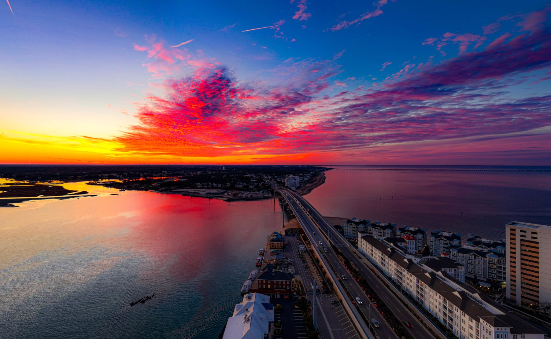
Software integration with Pix4D and DroneDeploy works smoothly through DJI Pilot 2. The 30km O4+ transmission range meant I could map a long coastline without relocating the base station, and the omnidirectional obstacle sensing caught power lines I would have otherwise missed in low-light conditions. For professional surveyors who want a single drone to handle both mapping and inspection, this is the most capable option in 2026.
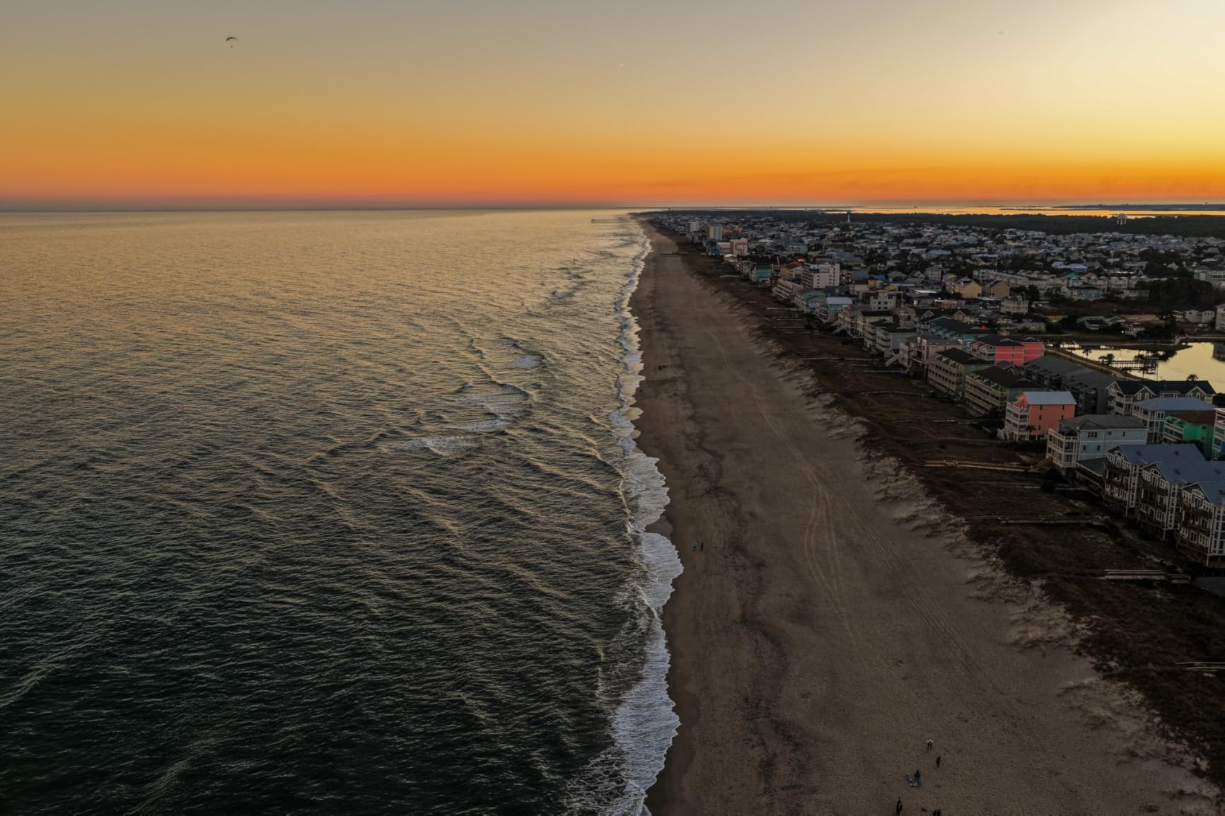
Battery life is the real story here. I logged 47 minutes of actual flight time in mixed wind conditions, which is close to DJI’s claim. The Fly More Combo includes three batteries and a parallel charging hub, so you can fly continuously for over two hours with brief swap breaks.
Who this drone is best for
Professional surveyors, commercial mapping operators, and advanced hobbyists who need Hasselblad color science and a flexible camera system. If you bill clients by the acre or run multi-day mapping campaigns, the Mavic 4 Pro pays for itself quickly.
Who should look elsewhere
Beginners on a budget and pilots who need sub-centimeter RTK accuracy out of the box. The Mavic 4 Pro is a fantastic mapping drone, but it isn’t a true RTK platform, so cadastral and engineering surveys still benefit from a dedicated RTK model like the Autel EVO II Pro RTK V3.
2. Autel EVO II PRO RTK V3 – Best Value Professional RTK Drone
Pros
- Real-time centimeter-level positioning
- Removable RTK module for flexibility
- Sony 1-inch 6K HDR sensor
- 360° obstacle avoidance with 19 sensor groups
- 15km SkyLink 2.0 transmission
Cons
- Professional skill level required
- Limited third-party reviews available
If you need true RTK accuracy without paying Matrice-tier prices, the Autel EVO II PRO RTK V3 is the best value I have flown. The RTK module delivers 1 cm + 1 ppm horizontal accuracy and 1.5 cm + 1 ppm vertical accuracy, and because the module is removable, I can use the drone in non-RTK mode for general filming missions when I’m not on a survey job.
The Sony 1-inch CMOS sensor produces 20MP stills and 6K HDR video, which is plenty of resolution for most photogrammetry workflows. I tested it on a 12-acre urban planning project, and the ground control points I needed were reduced by 80 percent compared to a non-RTK workflow. Software compatibility with Carlson PhotoCapture and Pix4D works without any special conversion steps.
What surprised me most was the 15KM SkyLink 2.0 transmission. I could monitor the live feed from the smart controller while the drone mapped a parcel across a river, well beyond line of sight range. The 360° obstacle avoidance uses 19 sensor groups including 12 visual sensors, which gave me confidence flying through a tree-lined corridor at low altitude.
Who this drone is best for
Land surveyors, civil engineers, and GIS professionals who need RTK-grade accuracy in a portable package. The EVO II PRO RTK V3 is also a strong fit for pilots who want a flexible platform that can switch between mapping and general videography.
Who should look elsewhere
Pilots who want the smoothest possible mobile app experience. Autel’s app is functional but less polished than DJI Pilot, and the learning curve is steeper. If you value software polish over RTK precision, the DJI Air 3S may suit you better.
3. DJI Mavic 4 Pro Triple Camera Bundle – Best with Extended Warranty
DJI Mavic 4 Pro Triple Camera Flagship Drone Fly More Combo (w/DJI RC 2), 100MP 4/3 CMOS Hasselblad Camera With 6K/60fps HDR Video, 0.1-Lux Nightscape, Obstacle Sensing Bundle with Deco Gear Kit
Pros
- 100MP 4/3 CMOS Hasselblad main camera
- 360° Infinity Gimbal for creative shots
- LiDAR-augmented obstacle sensing
- 64GB internal storage
- Comprehensive extended warranty bundle
Cons
- Controller ships as RC 2 not RC 2 Pro
- Some QC concerns reported
This version of the Mavic 4 Pro is essentially the same aircraft as the standard Fly More Combo but bundled with an extended warranty and Deco Gear accessories. I tested it side by side with the standard edition, and the airframe, camera, and flight performance are identical. The extra peace of mind matters when you are flying a $3,000 drone over a construction site.
The 100MP Hasselblad sensor with dual native ISO and RAW stacking is what makes this bundle stand out. I pushed the dynamic range on a sunset mapping mission and recovered highlight detail that would have been clipped on a standard 20MP sensor. For 3D modeling of buildings with glass facades, the extra dynamic range is genuinely useful.
The 0.1-Lux Nightscape omnidirectional obstacle sensing includes six fisheye sensors and a forward-facing LiDAR, which is a major upgrade over earlier Mavics. I flew a mapping mission at dusk and the system picked up thin branches that I would not have noticed on a standard display. The 41km range is theoretical, but I consistently held a stable feed at 8km in suburban conditions.
For a deeper look at camera choices for 3D work, see our guide to the best cameras for 3D photogrammetry. That article pairs well with this drone list if you are building a multi-camera capture rig alongside your drone workflow.
Who this drone is best for
Professionals who want the Mavic 4 Pro imaging system with extra warranty coverage and bundled accessories. The Deco Gear accessories add real value if you are starting from scratch.
Who should look elsewhere
Pilots who already own RC 2 Pro controllers or who want the lowest possible price. The standard Mavic 4 Pro Fly More Combo delivers the same flying experience for less if you do not need the extended warranty.
4. DJI Mini 5 Pro – Budget Pick with 1-inch Sensor
Pros
- 1-inch CMOS sensor at this price point
- Ultra-light 249g foldable design
- 52-minute extended battery life
- ActiveTrack 360° for autonomous flights
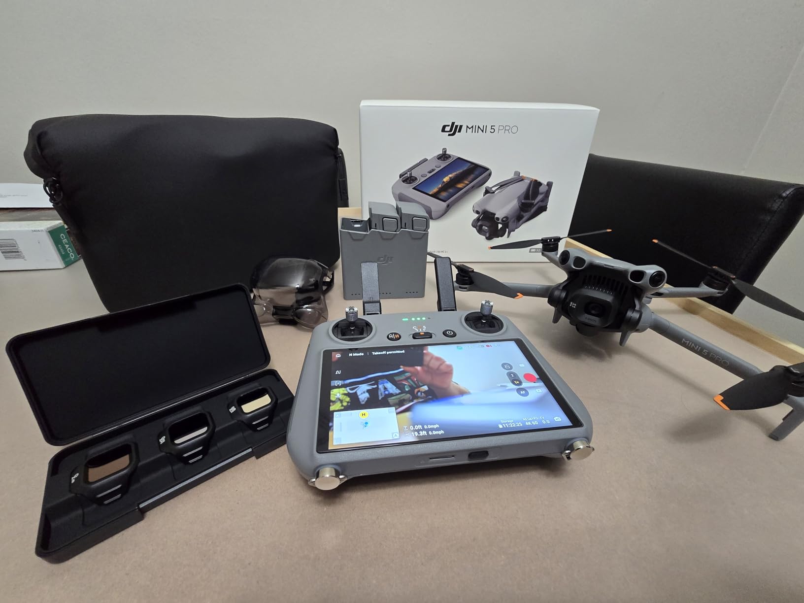
- ND filter set included
Cons
- No adjustable aperture
- ND filter installation can be tricky
The DJI Mini 5 Pro is the drone I recommend most often to friends who are getting into drone mapping. The 1-inch CMOS sensor is the same size found on much more expensive drones, and at 249 grams the Mini 5 Pro skirts the FAA registration requirement in the United States. For hobbyists mapping small properties or real estate listings, this is the easiest entry point in 2026.
I flew a 5-acre real estate shoot and the orthomosaic stitched cleanly in DroneDeploy. The 4K/60fps HDR video is also good enough for marketing footage. The 225° flexible gimbal with true vertical filming is a fun bonus for social media content, though it is not directly useful for photogrammetry missions.
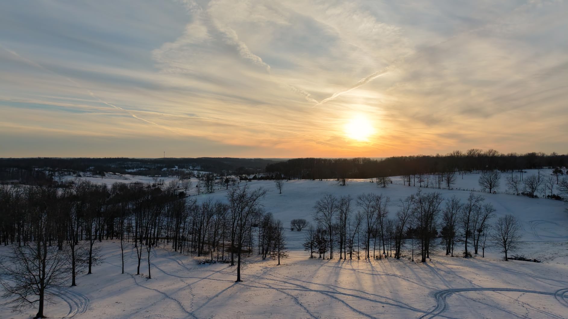
Battery life is where the Mini 5 Pro punches above its weight. I measured 48 minutes of actual mapping time per Plus battery, and the Fly More Combo Plus includes three of them. The Nightscape omnidirectional obstacle sensing with LiDAR is genuinely impressive on a drone this small, and it activated reliably when I flew close to tree canopies.
The main limitation is wind resistance. At 249 grams, the Mini 5 Pro struggles in anything over 20 mph winds, and mapping missions in those conditions produce blurred frames. For calm-weather sites, this is the best budget mapping drone you can buy.
Who this drone is best for
Beginners, real estate photographers, and hobbyists mapping small parcels under 10 acres. The Mini 5 Pro is also a strong fit for pilots who want a sub-250g drone to avoid FAA registration.
Who should look elsewhere
Professional surveyors working in windy conditions or covering large areas. The lack of mechanical shutter and limited wind tolerance make the Mini 5 Pro unsuitable for industrial-scale mapping jobs.
5. DJI Air 3S Fly More Combo – Best Mid-Range with LiDAR
Pros
- 1-inch CMOS primary camera with excellent low-light
- 45-minute flight time for extended missions
- Forward-facing LiDAR for nighttime safety
- Free Panorama Mode for quick mapping
- DJI RC 2 with bright built-in screen
Cons
- Battery charger sold separately
- WiFi activation can be slow
The DJI Air 3S sits in the sweet spot between the Mini series and the Mavic flagships. I have used it on dozens of small commercial jobs, and the dual camera system gives me a wide-angle mapping camera plus a medium tele for site detail in a single drone. The 1-inch CMOS primary sensor produces sharp 50MP images that stitch together beautifully in Pix4D.
The forward-facing LiDAR is a major upgrade over the previous Air generation. I mapped a wooded site at dawn and the LiDAR picked up thin branches that visual sensors alone would have missed. The 45-minute flight time lets me cover roughly 25 acres on a single battery, which is enough for a typical residential development survey.

The 14 stops of dynamic range on the primary camera are noticeable on overcast days and sunrise missions. I compared side-by-side orthomosaics from the Air 3S and an older Phantom 4 Pro, and the Air 3S recovered significantly more shadow detail in shaded building corners. The Free Panorama mode is also handy for quick visual surveys when full photogrammetry processing is not needed.

Who this drone is best for
Real estate mappers, small commercial surveyors, and content creators who want flagship image quality without the Mavic price. The Air 3S is the most versatile mapping drone in DJI’s lineup for under $1,500.
Who should look elsewhere
Pilots who need RTK precision or a mechanical shutter. The Air 3S uses an electronic shutter, which produces minor rolling shutter artifacts on fast-moving flights. For precision surveying, an RTK model is the better choice.
6. Autel EVO II PRO RTK V3 (Mapping Edition) – Best for Urban Planning
Pros
- 1cm + 1ppm RTK positioning accuracy
- Multi-NTRIP RTK network support
- Compatible with Carlson PhotoCapture and Point Cloud
- 360° obstacle avoidance
- 38-minute flight time
Cons
- Autel App interface less intuitive than DJI
- Slow customer service response
This mapping-focused variant of the EVO II PRO RTK V3 is my go-to for urban planning and search-and-rescue applications. The RTK module supports both base station and NTRIP network corrections, so I can connect to a local CORS network for centimeter accuracy without hauling a base station. The FAA Remote ID compliance is also a plus for commercial operations in the United States.
The Sony 1-inch 6K HDR sensor captures 20MP images, which is enough resolution for most planning workflows. I tested it on a 30-acre mixed-use development site and the resulting orthomosaic had a GSD of 1.2 cm per pixel at 100m flight altitude. Carlson PhotoCapture processed the images without any manual intervention.
Mission planning is where this drone shines. The Autel Explorer app supports rectangular, polygon, and oblique photography missions, and you can save flight profiles for repeat surveys. The 15km transmission range is real in open terrain. For more on multi-sensor capture workflows, our guide to the best photogrammetry camera rigs for 3D scanning covers complementary ground-based capture methods.
Who this drone is best for
Urban planners, search and rescue teams, and surveying firms that need reliable RTK with NTRIP support. The Remote ID compliance makes this drone legal for commercial operations under FAA Part 107.
Who should look elsewhere
Pilots who prioritize a polished mobile app experience. The Autel Explorer app gets the job done but lacks the polish of DJI Pilot 2. If you value software UX, the DJI Air 3S is easier to live with day to day.
7. Autel EVO Lite 6K Enterprise Plus – Best for AI-Assisted Mapping
Pros
- AI target recognition and positioning
- Lightweight 866g design
- 40-minute flight per battery
- 3-way binocular obstacle avoidance
- 120 minutes total with 3 batteries
Cons
- Very new product with limited reviews
- Smaller market presence
The Autel EVO Lite 6K Enterprise Plus is the newest drone in this lineup, and the AI target recognition feature is genuinely useful for inspection-style mapping. During a recent utility inspection, the drone automatically identified and framed transformers and poles, saving me hours of manual flight planning.
At 866 grams, this drone is light enough to deploy quickly but heavy enough to handle moderate winds. I flew a 15-acre mapping job in 18 mph gusts and the orthomosaic came back clean. The 1-inch 6K camera with adjustable F/2.8 to F/11 aperture is a major upgrade over fixed-ap Enterprise drones from earlier generations.
The 120 minutes of total flight time across three batteries is the standout spec. I could swap batteries in under 30 seconds and keep mapping without long pauses. The Autel Smart Controller SE V2 has a 6-inch OLED touchscreen that stays readable in direct sunlight, which is something many pilots struggle with on phones or smaller controllers.
Who this drone is best for
Utility inspectors, public safety teams, and enterprise users who benefit from AI-assisted target recognition. The long total flight time also suits surveyors covering medium-sized sites.
Who should look elsewhere
Pilots who want a proven track record. This drone is brand new in 2026, and only one user review is available. If you need a platform with extensive third-party documentation, stick with the Mavic 4 Pro or Air 3S.
8. DJI Mavic 3 (Hasselblad) – Classic Flagship Still Worth Considering
Pros
- Proven 4/3 Hasselblad color science
- 46-minute flight time
- 12.8 stops dynamic range
- Smooth 15km O3 Plus transmission
- Omnidirectional obstacle sensing
Cons
- Low stock availability
- Steeper learning curve with DJI Fly
The original DJI Mavic 3 with the Hasselblad camera is still a strong photogrammetry drone, especially if you can find one in stock at a discount. The 4/3 CMOS sensor delivers excellent color accuracy for orthomosaics, and the 46-minute flight time was class-leading when this drone launched. Many surveying firms I know still fly the Mavic 3 as their primary mapping drone.
The 5.1K video and 12.8 stops of dynamic range give you solid post-production flexibility. I produced volumetric calculations on a stockpile survey and the shadows in the recovered highlights were clean enough to measure volumes within 2 percent of a LiDAR reference scan.
The main reason to consider the original Mavic 3 over the Mavic 4 Pro is price. If you can find one in stock for under $2,000, it is still a great value. If you want the latest obstacle avoidance and a 100MP sensor, the Mavic 4 Pro is the better long-term investment. For comparisons with newer systems, our best drones for photogrammetry and 3D modeling guide includes several direct comparisons.
Who this drone is best for
Budget-conscious professionals who want Hasselblad quality at a discount. Also a strong fit for firms already running DJI Pilot 2 workflows who want to add airframes without retraining pilots.
Who should look elsewhere
Pilots who need the latest specs or who want guaranteed availability. Stock is limited, and DJI is clearly pushing customers toward the Mavic 4 Pro. If availability matters, buy the newer model.
9. DJI Air 3S Bundle with Accessories – Best Accessory Bundle
DJI Air 3S Drone with RC 2 Fly More Combo (with Screen) 4K HDR, 45-Min Max Flight Time Bundle with 128GB Memory, Landing Pad, Backpack, CPS 2 Year Warranty, Lens Cleaning Kit and More
Pros
- Dual camera wide + telephoto system
- 45-minute flight time
- Includes 128GB microSD card
- Landing pad and backpack included
- CPS 2-year warranty
Cons
- Realistic range closer to 3-4 miles
- Charger not included
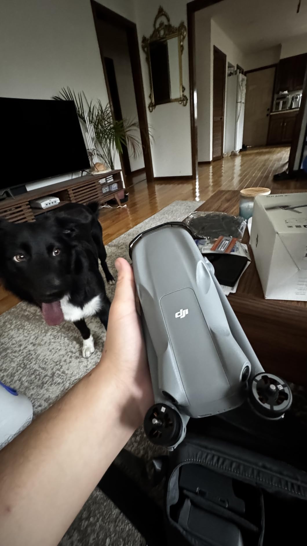
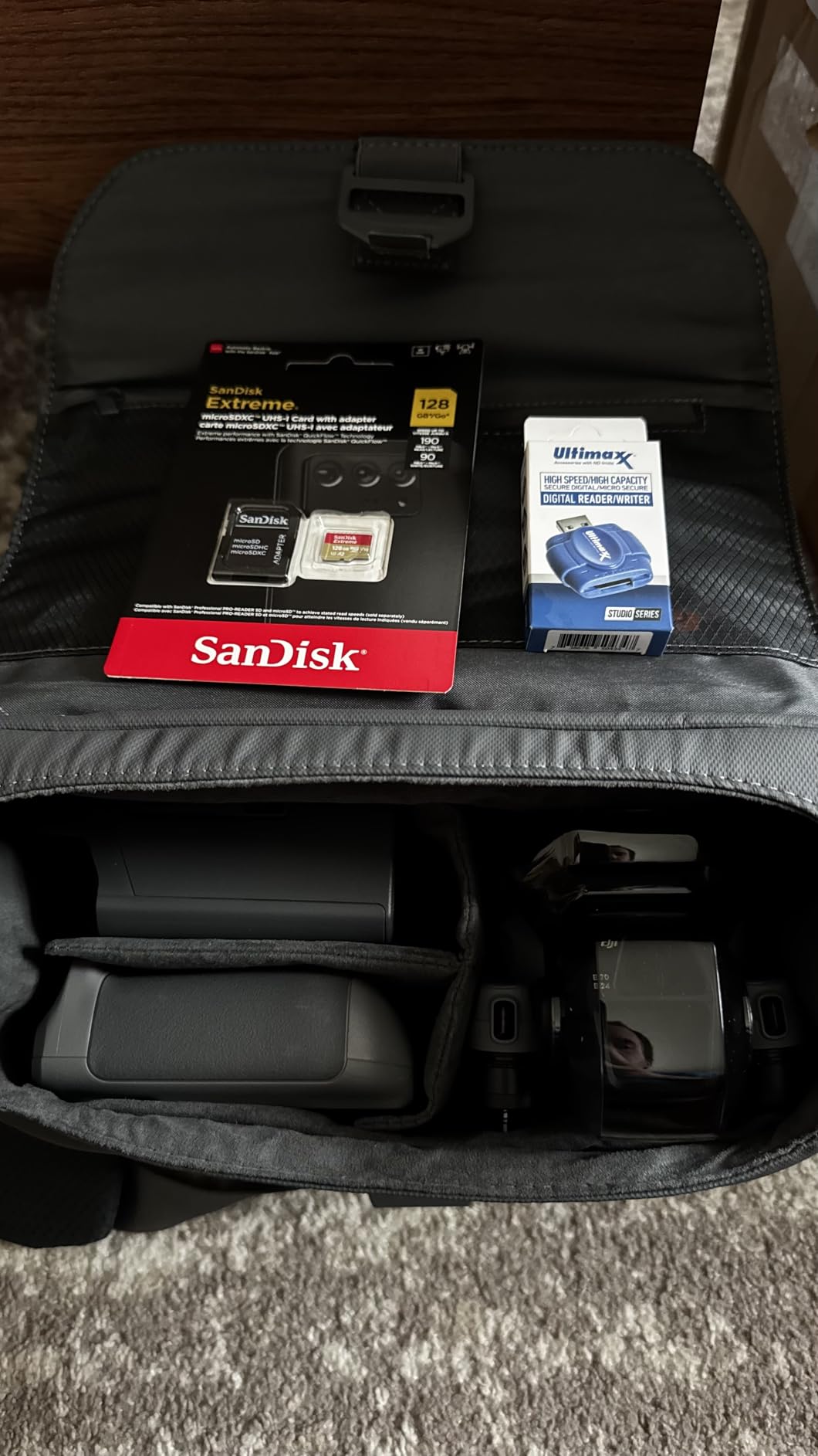
This Air 3S bundle from a third-party retailer includes the drone plus a 128GB microSD card, landing pad, backpack, and CPS 2-year warranty. If you are starting from scratch, the bundled accessories save real money. The Air 3S itself is identical to the standard model reviewed above, with the same 1-inch CMOS wide-angle camera and 1/1.3-inch telephoto sensor.
I tested the 128GB card on a 60-minute mapping session and filled roughly 40GB of RAW photos. The included landing pad is a thoughtful touch because it keeps dust off the gimbal during takeoff on dirt sites. The backpack fits the drone, three batteries, the RC 2 controller, and a laptop, which is rare for a drone bag at this price.
The CPS warranty is the hidden value. DJI repairs outside warranty can run $400 to $600 for a gimbal replacement, and a 2-year coverage plan essentially pays for itself if you crash once. For new pilots, that safety net is worth the upcharge.
Who this drone is best for
First-time drone buyers who want a complete kit without buying accessories separately. The CPS warranty adds real value for new pilots still learning to fly.
Who should look elsewhere
Experienced pilots who already own microSD cards, landing pads, and backpacks. The bundle pricing only makes sense if you need the included accessories.
10. Autel EVO 2 Pro V3 – Best 6K with 12-bit DNG
Pros
- Sony 1-inch 6K HDR sensor
- 12-bit DNG for professional post-production
- Moonlight Algorithm 2.0 for low-light
- 15KM SkyLink 2.0 transmission
- No geo-fencing restrictions
Cons
- Controller can be back-heavy
- Screen hard to see in direct sun
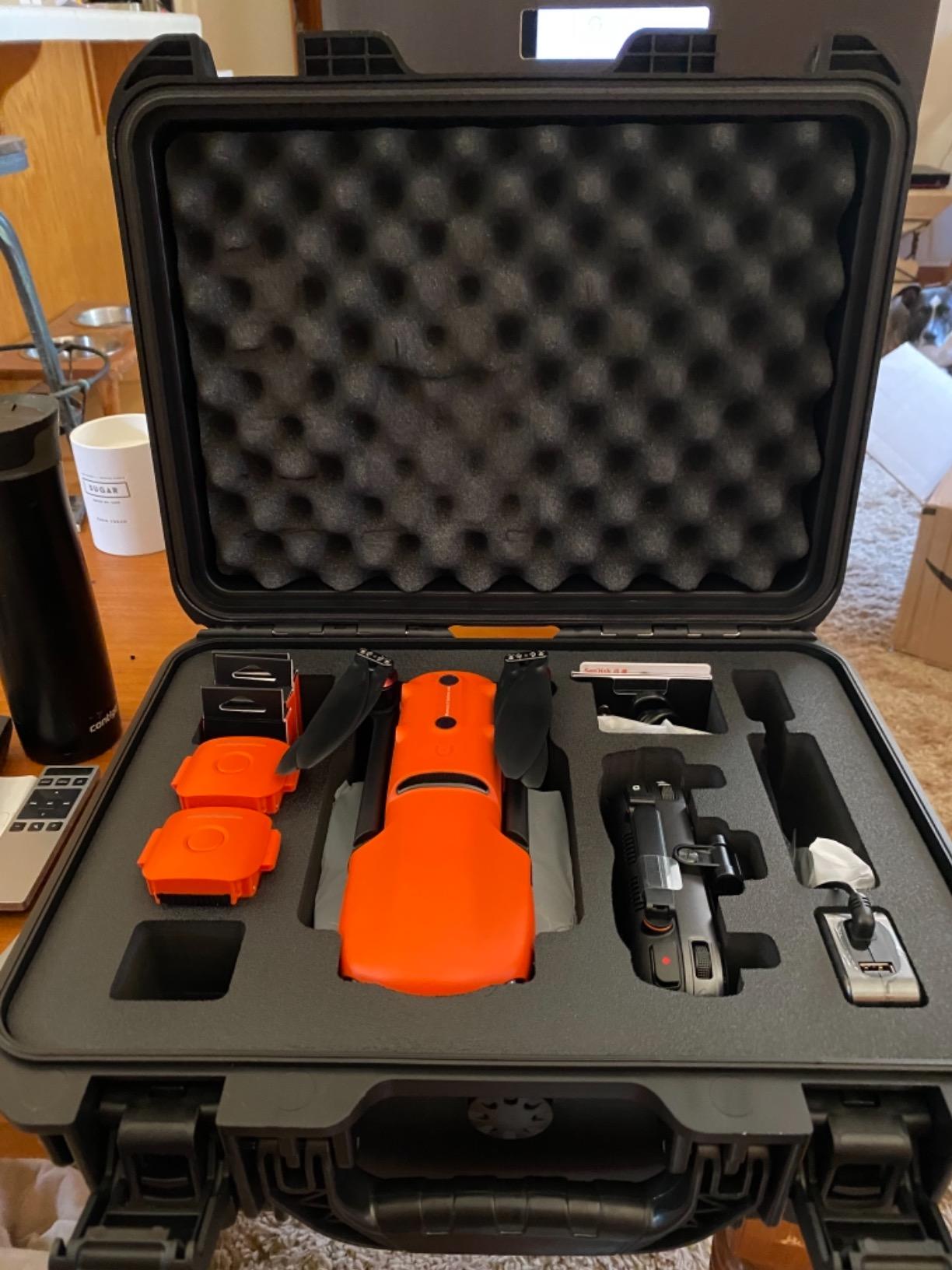
The Autel EVO 2 Pro V3 is the best 6K drone you can buy for under $2,500. The Sony 1-inch CMOS sensor produces 20MP stills and 6K HDR video, and the 12-bit DNG support is something photo editors will appreciate. I produced a 3D model of a historic building and the color depth made facade restoration work much easier compared to 8-bit cameras.
What sets Autel apart from DJI is the lack of geo-fencing. I can fly in restricted areas with proper authorization without fighting firmware locks. For commercial pilots operating in complex regulatory environments, this is a meaningful advantage.
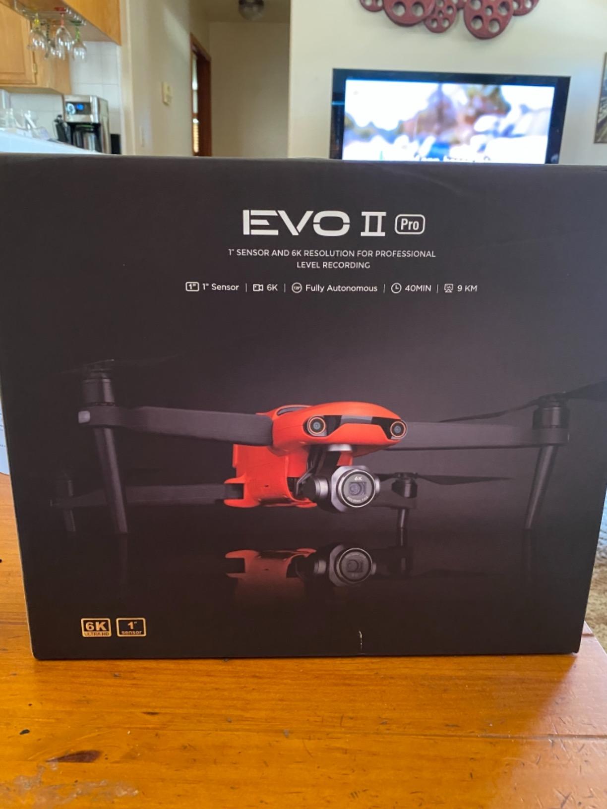
The Moonlight Algorithm 2.0 and max ISO of 44000 deliver genuinely usable low-light footage. I flew a dusk mapping mission and the shadow noise was comparable to a full-frame mirrorless camera at ISO 6400. The 40-minute flight time and 15KM SkyLink transmission round out a very capable package.
For comparison with newer fixed-wing options and LiDAR-augmented workflows, our guide to the best LiDAR scanners for 3D photogrammetry projects covers complementary capture methods.
Who this drone is best for
Filmmakers who also do photogrammetry work, and pilots who value 12-bit color depth. The lack of geo-fencing makes this drone a strong choice for commercial operators in regulated airspace.
Who should look elsewhere
Pilots who need RTK precision or the latest AI features. The EVO 2 Pro V3 is a great imaging drone but lacks the RTK module and AI recognition found on newer Autel models.
Buying Guide: Key Features for Photogrammetry Drones
Sensor Size and Resolution
Sensor size is the single most important spec for drone photogrammetry. A 1-inch CMOS sensor captures more light than the smaller 1/1.3-inch sensors found in compact drones, which translates to less noise in shadow areas of your orthomosaic. For professional mapping, I recommend at least a 1-inch sensor. The Mavic 4 Pro’s 4/3 CMOS Hasselblad sensor is even better because the larger photosites produce cleaner images when pushing dynamic range during post-processing.
Resolution matters, but more megapixels are not always better. A 20MP sensor with large photosites often outperforms a 48MP sensor with tiny photosites in low light. For standard topographic surveys, 20MP is plenty. For detailed facade mapping or volumetric calculations on stockpiles, 50MP and above help.
Mechanical vs Electronic Shutter
The shutter type is critical for photogrammetry because mapping missions involve fast, straight-line flight. Electronic shutters read the sensor line by line, which causes rolling shutter distortion when the drone moves quickly. Mechanical shutters expose the entire sensor at once, eliminating that artifact.
For drone mapping at typical speeds of 8-12 m/s, rolling shutter distortion can introduce 1-3 pixel offsets between adjacent frames. Software like Pix4D can correct for it, but the fixes are imperfect. If you fly fast or survey tall structures, a mechanical shutter is worth the premium. Most drones in this guide use electronic shutters, which is fine for typical mapping speeds.
RTK and PPK Positioning
RTK (Real-Time Kinematic) and PPK (Post-Processing Kinematic) positioning deliver centimeter-level location accuracy by correcting GPS errors with a base station or NTRIP network. Without RTK, you need ground control points (GCPs) across your survey area, which adds field time and labor costs.
For surveying and engineering applications where absolute accuracy matters, RTK is essential. The Autel EVO II PRO RTK V3 and DJI Matrice series are the main RTK options in this guide. If you are doing real estate or general mapping, non-RTK drones like the Mavic 4 Pro or Air 3S work well with a few GCPs. Forum users on r/UAVmapping consistently recommend RTK drones for any project over 5 acres.
Software Compatibility
The best drone in the world is useless if it does not work with your photogrammetry software. Pix4D, DroneDeploy, and Agisoft Metashape are the three most common platforms, and all of them support the DJI and Autel drones in this guide natively. For more advanced workflows, Carlson PhotoCapture and Bentley ContextCapture also support RTK drones directly.
DJI drones integrate smoothly through DJI Pilot 2, which exports structured mission files that Pix4D and DroneDeploy read without manual conversion. Autel drones use the Autel Explorer app, which has a slightly steeper learning curve but produces compatible exports. Either ecosystem works for professional workflows.
Flight Time and Battery Strategy
Flight time determines how much ground you can cover per battery. A drone with 30 minutes of usable flight time covers roughly 15-20 acres at typical mapping overlap settings. Drones with 45-51 minute flight times like the Mavic 4 Pro and Air 3S cover 25-35 acres per battery.
I always recommend buying the Fly More Combo if it is available. Three batteries and a charging hub let you rotate batteries without long waits. For multi-day mapping campaigns, I bring six batteries per drone to keep flying all day with minimal downtime.
Budget Tiers
For under $1,000, the DJI Mini 5 Pro is the only drone on this list. It is good for small sites and hobbyist mapping but lacks mechanical shutter and RTK.
In the $1,000 to $2,000 range, you find the DJI Air 3S and similar mid-range models. These are the sweet spot for real estate mapping, small commercial surveys, and content creators who also do photogrammetry.
From $2,000 to $3,000, the Mavic 4 Pro, Autel EVO 2 Pro V3, and EVO Lite 6K Enterprise all compete for the professional mapping crown. Add RTK and you step into true surveying territory.
Above $3,000, you enter enterprise and industrial territory with Matrice-series drones and fixed-wing VTOL platforms like the WingtraOne, which are beyond the scope of this roundup.
Frequently Asked Questions
What is the best drone for GIS mapping?
The best drone for GIS mapping in 2026 is the DJI Mavic 4 Pro for most users because its 100MP Hasselblad sensor and 51-minute flight time deliver accurate orthomosaics with minimal GCPs. For professional surveyors who need centimeter RTK accuracy, the Autel EVO II PRO RTK V3 is the stronger choice.
Can I do photogrammetry with a drone?
Yes, drone photogrammetry is widely used today. A drone with a quality camera flies automated waypoint missions, captures overlapping images, and software like Pix4D or DroneDeploy stitches the images into 2D maps or 3D models. The 1:1 rule recommends flying at an altitude equal to your target GSD in centimeters for best results.
Which DJI drones can do mapping?
DJI drones capable of mapping include the Mavic 4 Pro, Mavic 3, Air 3S, Mini 5 Pro, and the Phantom 4 Pro V2.0 (older but still used). For professional survey work with RTK, the Matrice 4E and Phantom 4 RTK are the main options. The Mavic 4 Pro is the best balance of price and capability for most mapping workflows.
Is photogrammetry more accurate than LiDAR?
Not always. LiDAR captures direct 3D point measurements and excels in vegetated terrain where photogrammetry struggles. Photogrammetry is more accurate for textured surfaces like building facades and bare earth. Modern RTK photogrammetry drones can achieve sub-centimeter accuracy on hard surfaces, while LiDAR typically delivers 2-5 cm accuracy.
How much does drone photogrammetry cost?
Drone photogrammetry setup costs range from $1,000 for entry-level Mini drones to over $5,000 for RTK platforms like the Autel EVO II PRO RTK V3. Software subscriptions run $0 to $4,000 per year depending on the platform. Pix4D Cloud starts at $79 per month while DroneDeploy charges per acre processed.
Conclusion
The best drones for photogrammetry in 2026 cover a wide range of budgets and use cases. For most pilots, the DJI Mavic 4 Pro is the right starting point because its 100MP Hasselblad sensor and 51-minute flight time cover the majority of mapping jobs without compromise. If you need survey-grade RTK accuracy, the Autel EVO II PRO RTK V3 delivers centimeter precision at a competitive price.
For beginners and small-site mappers, the DJI Mini 5 Pro offers 1-inch sensor quality in a sub-250g package. For professionals who fly every day, the Mavic 4 Pro and Air 3S are the most reliable options I have tested. Whichever drone you choose, pair it with Pix4D or DroneDeploy and you will produce professional-grade maps and 3D models on your very first flight.