Planning a drone shoot used to mean driving to locations, walking around, and hoping the spot would work for aerial photography. I have spent countless hours and fuel doing exactly that. Then I discovered how to plan a drone shoot using Google Earth for location scouting, and everything changed. Virtual reconnaissance from my computer now saves me time, money, and frustration before I ever pack my drone bag.
In this guide, I will show you exactly how I use Google Earth Pro to scout drone locations, plan compositions, identify launch points, and prepare for optimal lighting conditions. Whether you shoot real estate, landscapes, or commercial aerial footage, these techniques will transform your pre-production workflow.
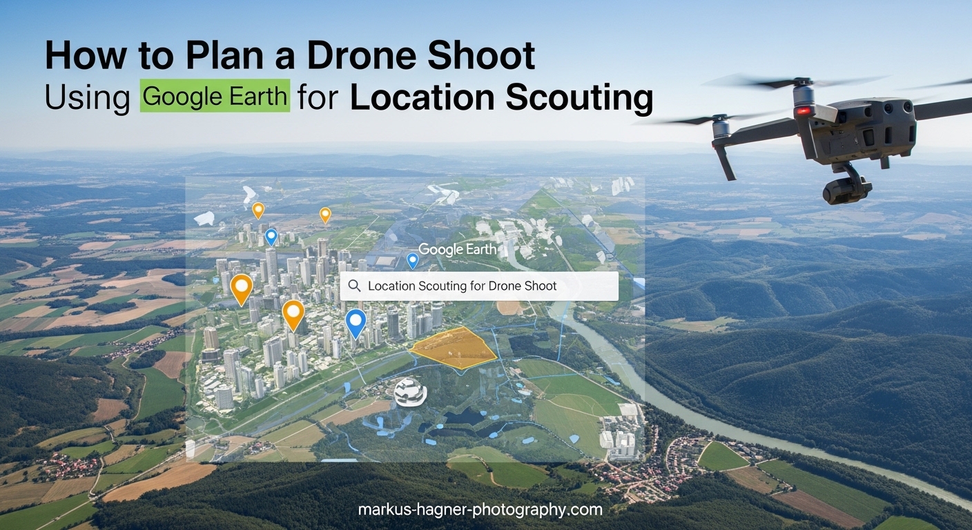
Why Use Google Earth for Drone Location Scouting?
Google Earth offers something Google Maps cannot match: full 3D terrain visualization. When I am scouting for drone shots, I need to understand elevation changes, height differences, and how structures relate to each other in three dimensions. Google Earth delivers this in ways that flat satellite imagery simply cannot.
The biggest advantage I have found is the ability to identify launch points with clear line of sight before arriving at a location. Nothing is worse than driving two hours only to discover your planned takeoff spot is blocked by trees or power lines. With Google Earth, I can tilt the view and spot potential obstacles from every angle.
Virtual scouting also lets me plan compositions in advance. I look for top-down patterns, symmetrical features, and interesting terrain shapes that will translate into compelling aerial photographs. This pre-visualization means I arrive knowing exactly what shots I want to capture.
The time and cost savings add up quickly. Instead of visiting multiple locations to find the best one, I can evaluate dozens of spots from my desk. I only travel to locations I know have potential. For commercial drone work, this efficiency translates directly into better margins and happier clients.
Line of sight planning matters more than most drone pilots realize until they lose signal behind an unexpected ridge. Google Earth helps me understand the terrain between my planned position and the subject, reducing the risk of signal loss or forced landings in inaccessible areas.
Getting Started with Google Earth
Google Earth Pro vs Web Version
I recommend downloading Google Earth Pro for serious drone planning. The free desktop application offers features the web version lacks, including advanced measurement tools, historical imagery access, and the ability to record tours. The Pro version also handles large datasets better and allows more precise control over views.
The web version works fine for quick checks, but for comprehensive mission planning, the desktop application gives you everything needed. Google Earth Pro is completely free, so there is no reason not to install it.
Google Earth vs Google Maps for Drone Planning
Many drone pilots ask whether Google Maps is sufficient for location scouting. The short answer is no. Google Maps provides excellent 2D satellite imagery and street views, but it lacks the 3D terrain visualization that makes Google Earth so powerful for aerial photography planning.
Google Maps cannot simulate camera angles, show elevation relationships, or help you understand how a location will look from above. It works great for finding addresses and checking road access, but for drone mission planning, Google Earth is the superior tool.
I use both together: Maps for logistics like parking and road access, Earth for creative planning and technical scouting. They complement each other well in a complete workflow.
Installing Google Earth Pro
Download Google Earth Pro from the official Google Earth website. Installation takes just a few minutes on most computers. Once installed, spend some time learning the basic navigation controls before diving into serious scouting work.
The key controls to master are zooming with your scroll wheel, tilting the view by dragging with the right mouse button or shift+drag, and rotating by dragging with the middle mouse button. These three movements let you position the virtual camera exactly where your drone would be.
Essential Google Earth Tools for Drone Planning
3D Terrain and Elevation Analysis
The 3D viewing capability is what sets Google Earth apart for drone photographers. When you tilt the view, you see elevation changes that are invisible in flat satellite imagery. This helps you understand terrain height differences, which is essential for planning dramatic aerial compositions.
I use 3D terrain analysis to find locations where height differences will create visual interest. Cliffs, ridges, valleys, and coastal formations all look different when you can see their true vertical relationships. This information helps me plan camera angles and altitudes before I fly.
To activate 3D view, simply drag the view while holding shift, or use the tilt slider in the navigation controls. The more you tilt, the more pronounced the terrain appears. Play with different angles to find the most useful perspective for your specific location.
Sun Position and Lighting Tool
The sun position tool is one of the most valuable features for planning drone shoots around golden hour and optimal lighting conditions. Found under the View menu in Google Earth Pro, this tool shows exactly where the sun will be at any date and time.
I use this constantly when planning shoots for specific lighting effects. Want backlit subjects with long shadows? The sun tool tells you exactly when that happens. Need side lighting to accentuate textures? The tool shows you the optimal timing.
Important note: make sure your time zone is set correctly in Google Earth preferences. An incorrect time zone will give you wrong sun positions, which defeats the purpose of the planning. I learned this the hard way after arriving at a location an hour early for golden hour.
The lighting simulation helps me decide between morning or evening shoots at any location. Some spots look better with sunrise light, others with sunset. The sun tool lets me compare both options before committing to a specific shoot time.
Distance Measurement with Ruler Tool
The ruler tool in Google Earth Pro measures distances with surprising accuracy. For drone pilots, this is essential for battery planning and flight time estimation. I measure the distance from my planned launch point to the subject, then double it for the round trip.
Battery range varies by drone model and conditions, but knowing your aircraft’s typical range lets you use these measurements to verify your planned flights are within safe limits. I always add a safety margin of 30 percent to my distance calculations.
Access the ruler tool from the toolbar or press Ctrl+R (Cmd+R on Mac). Click two points on the map to see the distance between them. You can also measure paths with multiple points, which is useful for planning complex flight routes.
Distance measurement also helps with legal compliance in regions with maximum flight distances from the operator. Knowing exact distances before flying helps ensure you stay within regulations.
Layer Controls and Historical Imagery
Layer controls let you customize what appears on screen. For drone scouting, I often turn off unnecessary layers to get a cleaner view. Roads and borders can sometimes clutter the imagery when I am focused on natural features.
The historical imagery feature is incredibly valuable for checking how locations change over time. Accessed through the clock icon on the toolbar, this shows satellite images from different dates. I have avoided locations that looked perfect in current imagery but were construction sites in older photos.
Seasonal variations matter too. A location might look completely different in summer versus winter. Historical imagery helps you understand these changes and plan accordingly. Beach crowds, snow coverage, foliage density, and water levels all vary by season.
How to Plan a Drone Shoot Using Google Earth for Location Scouting: Step-by-Step Workflow
Step 1: Research Your Target Area
Start by entering your general location in the search box. This could be a city, region, or specific address. Once Google Earth zooms to the area, spend time exploring the surroundings at various zoom levels. Look for features that would make interesting aerial subjects.
I specifically search for patterns, symmetry, and unusual shapes that translate well to aerial photography. Agricultural fields, coastal formations, urban grids, and industrial sites often produce striking top-down compositions. Color contrasts between different terrain types also catch my eye.
Take notes on promising spots as you find them. I create mental shortlists of the three to five most interesting locations within my target area. This gives me options if my first choice does not work out.
Step 2: Analyze Terrain in 3D
Once you have identified potential locations, switch to 3D view and examine the terrain from multiple angles. Tilt the view to understand elevation changes and how they will affect your compositions. Look for height differences that create visual drama.
I pay special attention to how terrain relates to the subject. A hill behind your launch point might block your signal. A ridge between you and your subject could force you to fly higher than planned. Understanding these relationships in advance prevents surprises in the field.
Consider different camera angles and how the terrain will appear from each. Low angles emphasize height differences. High angles flatten perspective. Plan which approach will best showcase your subject.
Step 3: Identify Launch Points and Line of Sight
Finding good launch points is critical for successful drone shoots. In Google Earth, look for flat, accessible areas with clear sight lines to your subject. Roads, parking areas, open fields, and public spaces often work well.
Check for obstacles between your launch point and subject. Trees, buildings, hills, and power lines can all interfere with your flight or signal. The 3D view helps you spot these issues that would be invisible in 2D satellite imagery.
I also consider practical factors like parking availability and legal access. A perfect launch spot is useless if you cannot legally reach it. Cross-reference with Google Maps Street View when available to verify ground conditions.
Safety matters too. Avoid launching near airports, military installations, or crowded areas. Google Earth helps you identify these hazards during the planning phase so you can choose safer alternatives.
Step 4: Plan Sun Position and Lighting
Open the sun position tool and set your planned shoot date and time. Watch how the sun angle changes the simulated lighting on your subject. Adjust the time to find your optimal shooting window.
For golden hour shoots, I typically plan for one hour after sunrise or one hour before sunset. The sun tool shows exactly where shadows will fall during these times. This helps me position myself and my drone for the best possible light.
Consider the direction of light relative to your subject. Front lighting illuminates details evenly. Side lighting emphasizes texture and dimension. Back lighting creates silhouettes and dramatic rim lighting. Each has its place depending on your creative goals.
Remember that the actual conditions may differ from the simulation due to weather and atmospheric conditions. Use the sun tool as a planning guide, but be prepared to adapt on location.
Step 5: Measure Distances and Plan Flight Path
Use the ruler tool to measure distances from your launch point to various subjects and waypoints. Calculate total flight distance including your planned route and return path. Compare this to your drone’s battery range to ensure the mission is feasible.
I always plan a direct return path that avoids obstacles. Sometimes the most interesting route out is not the safest way back. Having a clear return path programmed mentally helps me avoid running low on battery far from the launch point.
Consider wind conditions in your planning. Headwinds on the return leg can significantly reduce your effective range. Building buffer time into your flight plan accounts for these variables.
Document your planned route with placemarks or by drawing a path. This creates a reference you can review before flying and helps you stay oriented during the actual shoot.
Step 6: Save and Organize Your Locations
Create placemarks for your launch points, subjects, and any waypoints in your planned flight. Give each placemark a descriptive name and add notes about altitude, timing, and composition ideas. This documentation becomes invaluable when you return to locations months later.
Organize placemarks into folders by project or location type. I have separate folders for real estate locations, landscape spots, and commercial sites. This keeps my Google Earth library manageable as the number of saved locations grows.
GPS coordinates are automatically saved with each placemark. You can copy these coordinates into your drone’s waypoint system or navigation app. Having precise coordinates eliminates searching for the right spot when you arrive on location.
Advanced Tips for Better Drone Scouting
Recording Tours for Client Presentations
The record tour feature in Google Earth Pro lets you create fly-through videos of planned locations. I use this for client presentations, showing them exactly what I intend to capture before the shoot. This builds confidence and ensures everyone shares the same vision.
To record a tour, click the record button in the toolbar and fly through your planned shots using mouse controls. Google Earth captures the movement and lets you play it back or export it as a video file.
Exporting Location Data
Save your placemarks and paths as KML or KMZ files for use in other applications. Some drone flight planning apps can import these files directly, letting you transfer your Google Earth planning to your mobile device. This integration streamlines the workflow from desk to field.
KML files are also useful for sharing locations with team members or clients who want to review the planned shots. Anyone with Google Earth can open and explore your saved locations.
Legal and Safety Considerations
While Google Earth helps with creative planning, remember to verify flight restrictions through official channels. Airspace regulations, temporary flight restrictions, and local drone laws change frequently. Google Earth imagery does not show current no-fly zones or restricted areas.
I always cross-reference my planned locations with official drone airspace apps before flying. The combination of Google Earth for creative planning and specialized apps for legal compliance provides complete preparation.
Common Mistakes to Avoid
Do not rely solely on satellite imagery date. The photos you see might be years old. Always check the historical imagery to confirm the current state of your location. Construction, seasonal changes, and land use changes can render your planning obsolete.
Another mistake is ignoring ground-level access. A perfect aerial location is useless if you cannot reach your planned launch point. Verify road access and parking before committing to a location.
Finally, do not skip the battery range calculations. It is tempting to focus on creative possibilities while forgetting practical limitations. Always confirm your planned flights are within your drone’s capabilities.
Frequently Asked Questions
How to create drone shots in Google Earth?
Use Google Earth’s 3D view to simulate your desired camera angles by tilting and rotating the view. Navigate to your location, enable 3D buildings and terrain, then adjust the perspective to match what your drone would see. This helps you pre-visualize compositions before flying.
Does Google Maps have a flyover feature?
Google Maps has limited 3D flyover capabilities compared to Google Earth. While Maps offers satellite view and some 3D buildings in major cities, Google Earth provides full 3D terrain visualization, elevation data, and the sun position tool that drone photographers need for comprehensive mission planning.
How to plot location in Google Earth?
Click the Add Placemark button in the toolbar or press Ctrl+Shift+P (Cmd+Shift+P on Mac). Position the pin on your desired location, name it, and add any notes. You can organize multiple placemarks into folders and export them as KML files for use in other applications.
How to create a Google Earth location video?
Use the Record Tour feature in Google Earth Pro by clicking the record button in the toolbar. Fly through your locations using mouse controls, then stop recording. You can play back the tour and export it as a video file to share with clients or team members.
Conclusion
Learning how to plan a drone shoot using Google Earth for location scouting has transformed my aerial photography workflow. I spend less time driving to mediocre locations and more time capturing compelling images. The combination of 3D terrain visualization, sun position planning, and distance measurement gives me confidence before every flight.
Start with Google Earth Pro for your next drone project. Spend an hour scouting virtually before you travel, and you will arrive prepared with specific shots in mind. The time investment upfront pays dividends in better photographs and more efficient shoots.
Remember that virtual scouting complements rather than replaces field verification. Always check current conditions, verify legal flight permissions, and assess safety factors on location. Google Earth helps you plan, but your judgment keeps you safe and legal.
As you practice these techniques, you will develop an intuition for what works in satellite imagery and what translates to stunning aerial photographs. The gap between planning and execution will shrink, and your portfolio will grow with images you pre-visualized from your desk.