15 Best Drones for Photogrammetry and 3D Modeling (June 2026) Guide
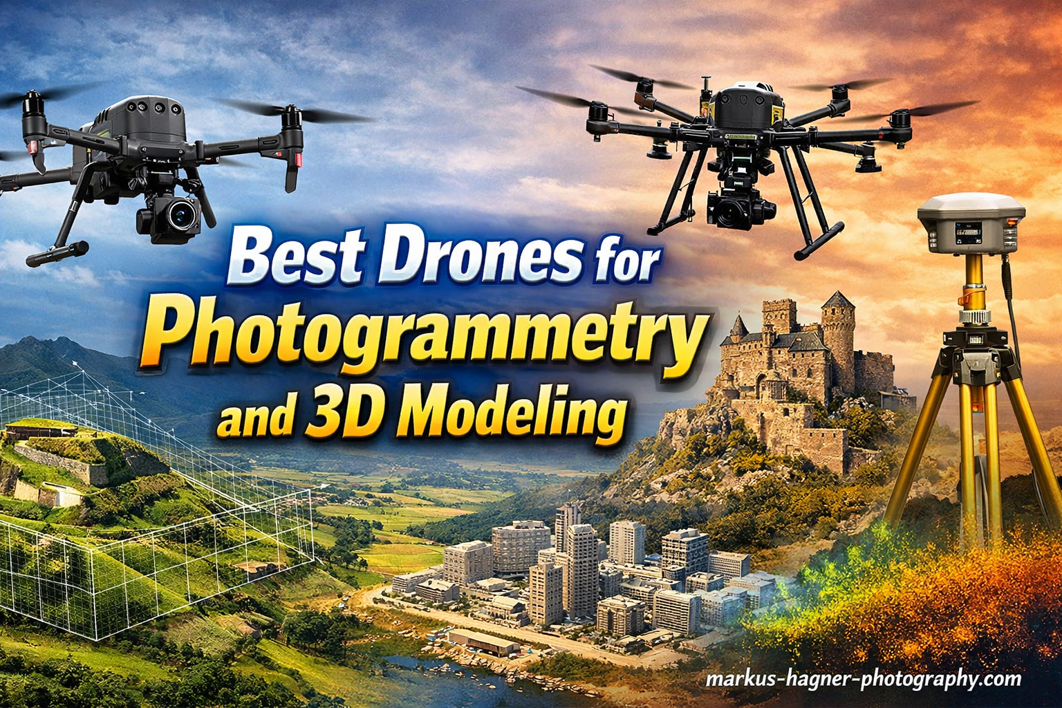
Drone photogrammetry has revolutionized how professionals in surveying, construction, mining, and archaeology capture spatial data. By flying automated flight patterns and capturing overlapping images from above, drones can create accurate 3D models, orthomosaic maps, and topographical surveys in a fraction of the time traditional methods require. Finding the best drones for photogrammetry and 3D modeling … Read more