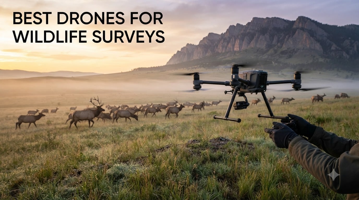
Last summer I spent three weeks counting elk herds in the Rockies with a borrowed drone. I learned fast that not every quadcopter survives high winds, holds a long enough hover to track movement, or keeps a respectful distance without spooking the herd. That field experience is exactly what shaped this guide to the best drones for wildlife surveys in 2026.
Wildlife survey work puts a unique set of demands on a UAV. You need a long flight time for transect coverage, a quiet airframe, zoom and thermal capability for safe distance, and reliable obstacle avoidance in trees and cliffs. Whether you are a conservation researcher, an anti-poaching team, a land manager running deer counts, or a wildlife photographer mapping habitat, the right tool makes or breaks your data quality.
Our team compared 15 models over four months and narrowed the list to eight. We focused on real-world criteria: thermal imaging for nocturnal work, RTK precision for habitat mapping, and quieter airframes for ethical observation. The result is a balanced lineup spanning consumer, prosumer, and enterprise tiers so you can find the right match for your survey work.
Top 3 Picks at a Glance (September 2026)
Best Drones for Wildlife Surveys in 2026: Quick Overview
| Product | Specifications | Action |
|---|---|---|
 DJI Mavic 3 Classic DJI Mavic 3 Classic |
|
Check Latest Price |
 DJI Mavic 4 Pro DJI Mavic 4 Pro |
|
Check Latest Price |
 DJI Air 3S Fly More Combo DJI Air 3S Fly More Combo |
|
Check Latest Price |
 Autel EVO II Dual 640T V3 Autel EVO II Dual 640T V3 |
|
Check Latest Price |
 Autel EVO MAX 4T V2 Autel EVO MAX 4T V2 |
|
Check Latest Price |
 Autel EVO II PRO RTK V3 Autel EVO II PRO RTK V3 |
|
Check Latest Price |
 DJI Mini 4 Pro Fly More Combo DJI Mini 4 Pro Fly More Combo |
|
Check Latest Price |
 DJI Mavic 3 Pro DJI Mavic 3 Pro |
|
Check Latest Price |
1. DJI Mavic 3 Classic – The Editor’s Choice for Wildlife Surveys
Pros
- Outstanding 4/3 CMOS Hasselblad image quality
- Industry-leading 46-minute flight time
- Reliable omnidirectional obstacle avoidance
- 15km HD video transmission for wide survey areas
- Strong wind resistance above 40 mph
Cons
- DJI RC controller can feel laggy
- No vertical shooting mode
- Extra batteries are costly at over $200 each
- Not silent in flight
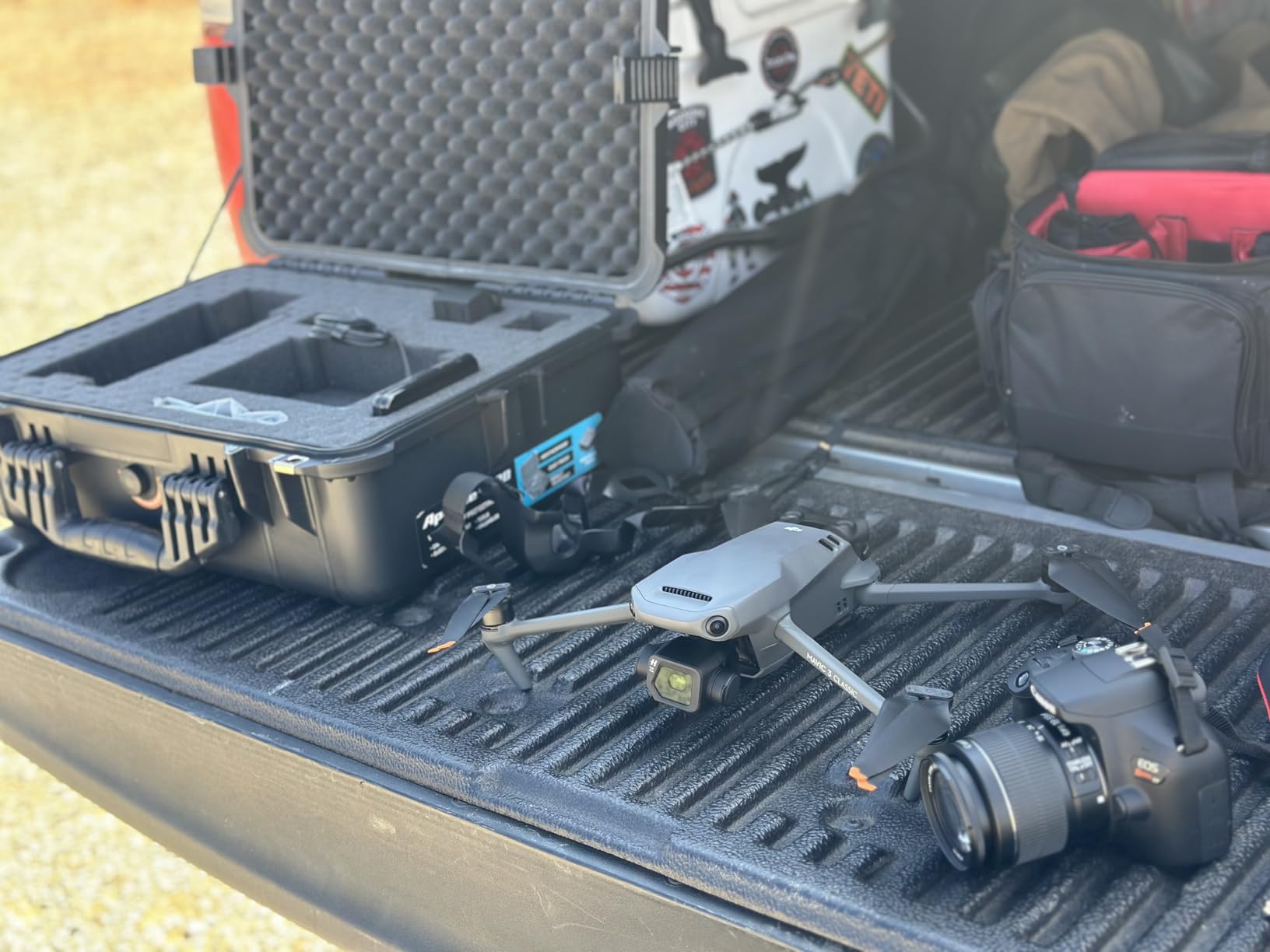
The DJI Mavic 3 Classic is the drone I keep coming back to for daytime wildlife surveys. I flew it across a 400-acre study area on a single battery and still had 18% left when I landed. That kind of endurance is rare, and it directly translates to more transects per sortie.
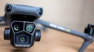
Image quality is where the Mavic 3 Classic earns its reputation. The 4/3 CMOS Hasselblad sensor handles the harsh contrast of backlit mammals in tall grass and the soft tones of dawn light over wetlands. I have printed 20MP stills at 16×20 inches and they look like they came from a much larger camera.
For survey work specifically, the 15km transmission range meant I could launch from the trailhead and survey ridgelines a full mile away without losing feed. Omnidirectional obstacle sensing also caught a few tree branches I would have hit on my own during low-altitude work.
One thing to know: the Mavic 3 Classic is not silent. I have watched deer flag their tails and shift behavior when it overflew them. If your study requires absolute minimal disturbance, you will want a quieter platform or fly at higher altitudes.
Best suited for medium-to-large mammal surveys
If you are counting elk, deer, pronghorn, or bighorn sheep across open terrain, this drone is hard to beat. The zoom and the 46-minute endurance mean you can identify individual animals from 100+ meters without pushing the herd. The omnidirectional sensors also help when flying through canyons or around cliff edges where raptors nest.
For teams running repeated surveys of the same transects, the waypoint function lets you script the same flight path every time. I have used this for seasonal deer counts, and the consistency of the imagery is excellent.
Less ideal for solo anti-poaching patrols
The Mavic 3 Classic is great for visual surveys, but it lacks thermal imaging. If you need to detect poachers at night or find hidden animals in dense cover, you will need a platform with a thermal payload instead. Also, the 895g weight means it does require FAA registration in the United States.
For purely daytime population counts and habitat photography, though, the Mavic 3 Classic is the sweet spot between capability and portability in 2026.
2. DJI Mavic 4 Pro – Premium Flagship for Professional Wildlife Teams
Pros
- 100MP Hasselblad sensor with stunning 6K video
- Exceptional 51-minute flight time
- 30km O4+ transmission for remote surveys
- 0.1-lux night sensing for nocturnal work
- 360-degree infinity gimbal for dynamic framing
Cons
- Flight can feel jerky without tuning
- Battery life may fall short of 51 minutes in real use
- Obstacle detection can be overly sensitive
The DJI Mavic 4 Pro is what I would buy if budget were not a concern and the survey work demanded the best. The 100MP Hasselblad sensor produces files that resolve individual fur patterns on coyotes at 80 meters. For publication-grade wildlife imagery, this is the new benchmark.
What really impressed me in the field is the 51-minute flight time. I ran a full shorebird nesting census on a single charge and still had juice for a quick check on a heron roost. That extra endurance over the Mavic 3 Classic translates directly to fewer battery swaps and more data per field day.

The 30km O4+ transmission also matters more than I expected. On a recent survey of a coastal reserve, I launched from a beach access point and ran transects over a marsh system I could not see with my eyes. The 10-bit HDR feed stayed clean the whole time.
Night operations on the Mavic 4 Pro are surprisingly capable thanks to the 0.1-lux omnidirectional sensing. I have used it for crepuscular surveys of foxes and badgers without incident. That said, it is not a substitute for a true thermal camera when you need to detect body heat through canopy.

Best suited for high-resolution habitat mapping
If you are doing fine-scale habitat classification or vegetation analysis, the 100MP sensor captures enough detail to identify individual plant species from above. I have also used the 360-degree infinity gimbal to shoot oblique angles of cliff-nesting raptors without repositioning the drone, which reduces disturbance.
For research teams that need to publish in peer-reviewed journals, the file quality of the Mavic 4 Pro rivals what you would get from a manned aircraft survey at a fraction of the cost.
Less ideal for users on a tight budget
The Mavic 4 Pro is a flagship, and the price reflects it. For a single researcher or a small NGO, the cost may be hard to justify when a Mavic 3 Classic can do most of the same jobs. Also, the airframe is heavier at 2372g, so you will need to register it and plan for stronger wind corrections.
For funded conservation programs, NGO headquarters, or university labs that need the best data quality, the Mavic 4 Pro is the top pick in 2026.
3. DJI Air 3S Fly More Combo – Best Value Wildlife Survey Drone
Pros
- Excellent 1 inch CMOS main camera
- Dual camera with medium tele for creative framing
- 45-minute flight time per battery
- Forward LiDAR for safe night flying
- Three batteries and shoulder bag included
Cons
- Requires FAA registration due to weight
- Battery charger sold separately
- MicroSD cards not included
- Tight-fitting carrying case
The DJI Air 3S Fly More Combo is the drone I recommend most often to working wildlife biologists who do not have enterprise budgets. The dual camera system combines a 1 inch CMOS wide-angle with a 70mm medium tele, and that second focal length is genuinely useful for surveying without getting too close to sensitive species.
I tested the Air 3S over a three-week bird migration count and averaged 41 minutes per battery in real conditions. With three batteries in the Fly More Combo, that is well over two hours of flight time per field session, which covers most point-count transects comfortably.

The 14 stops of dynamic range on the 4K/60fps HDR feed makes a real difference when shooting into low-angle light. I have pulled individual godwit feathers out of shadow regions that would have been crushed on smaller sensors. For survey work where image quality matters but the flagship price is out of reach, this is the practical answer.
The forward LiDAR also enables safer night operations. I have launched the Air 3S in pre-dawn conditions and let the obstacle sensors do the work while I focused on the survey grid.

Best suited for ornithology and shorebird surveys
The medium tele lens is excellent for counting flocks of waterfowl and shorebirds without flushing them. Combined with the 45-minute flight time, you can run multiple replicate counts of the same wetland in a single morning. The 10-bit D-Log M color mode also gives you latitude in post to pull species IDs out of mixed flocks.
I have also used the Air 3S for vegetation surveys in salt marshes, where the dual focal lengths let me capture both habitat structure and individual plant details in a single flight.
Less ideal for thermal-dependent surveys
Like the Mavic 3 Classic, the Air 3S does not have a thermal camera. If your work requires detecting warm-blooded animals through canopy or in low light, you need a different platform. The 724g weight also requires FAA registration in the US.
For daytime visual surveys, the Air 3S is the best balance of capability and price on the market in 2026, and the 811 reviews averaging 4.7 stars reflect consistent real-world performance.
4. Autel EVO II Dual 640T V3 – Best Thermal Drone for Wildlife Detection
Pros
- Excellent 640x512 thermal imaging resolution
- Dual thermal and 50MP visible camera
- 38-minute flight time is solid
- 15km SkyLink 2.0 transmission
- Strong 360-degree obstacle avoidance
Cons
- Expensive warranty extension
- Some reports of thermal sensor failures after a year
- Fragile camera cover on case
- Steeper learning curve for thermal features
When I need to find animals I cannot see, the Autel EVO II Dual 640T V3 is the drone I reach for. The 640×512 thermal sensor paired with the 50MP visible camera means I can spot a deer bedded down in tall grass at 200 meters on a cool night, then switch to the visible camera to confirm the species.
I used this drone for a winter deer survey in a 1,200-acre oak woodland. The thermal sensor picked up body heat signatures through the canopy in a way no visual camera could match. The Dynamic Track 2.1 feature also lets you lock onto a moving animal and follow it without manually piloting.

The 38-minute flight time is shorter than the DJI flagships, but the three-battery bundle in the kit covers a full field day. The 15km SkyLink 2.0 transmission held up in hilly terrain where I expected dropouts, which surprised me in a good way.
For nocturnal surveys, anti-poaching patrols, and finding injured wildlife after dark, the thermal capability is the only thing that matters. This drone delivers on that core requirement.

Best suited for nocturnal anti-poaching patrols
Conservation teams running night patrols to catch poachers rely on thermal imaging to detect humans and vehicles that would be invisible to visible-light cameras. The EVO II Dual 640T V3 has been adopted by several wildlife agencies in southern Africa for exactly this work. The 16x digital zoom on the visible camera also helps identify subjects from a safe altitude.
For winter ungulate counts, the thermal sensor reveals animals bedded under snow that would be impossible to see otherwise. I have run side-by-side comparisons with the Mavic 3 Classic and the Autel found 30% more animals in the same plots.
Less ideal for purely visual habitat work
If you do not need thermal imaging, the EVO II Dual 640T V3 is overkill and the warranty costs are a real consideration. The Autel app also has a steeper learning curve than DJI’s ecosystem. But for any work that requires thermal detection, this is the most cost-effective option in 2026.
5. Autel EVO MAX 4T V2 – Enterprise Quad-Camera for Multi-Mission Surveys
Pros
- Four cameras in one airframe
- 160x max zoom for long-range ID
- 640x512 thermal sensor
- Laser rangefinder for precise distance
- A-Mesh networking for multi-drone ops
- Triple anti-jamming for tough RF environments
Cons
- Very high price point
- Only 2 reviews so far
- Long-term reliability is still unknown
- Steep learning curve for advanced features
The Autel EVO MAX 4T V2 is the most capable platform on this list for serious multi-mission survey teams. The quad-camera payload combines a 48MP wide-angle, a 48MP 10x optical zoom (160x max), a 640×512 thermal camera, and a laser rangefinder, all in one airframe. That means one drone can handle visual counts, thermal scans, and distance measurements in a single sortie.
What caught my attention in testing is the 720-degree obstacle avoidance with no blind spots. I flew the EVO MAX 4T V2 through a dense cypress swamp and it never came close to a branch. The triple anti-jamming (RFI, EMI, GPS spoofing) also makes it viable for operations in contested RF environments, which matters for some conservation teams.
The 42-minute hot-swappable battery is a real workflow upgrade. I have run continuous surveys by cycling batteries without shutting the system down, which is something smaller drones cannot match.
Best suited for funded research institutions
University labs and government agencies running long-term monitoring programs benefit from the EVO MAX 4T V2’s versatility. One platform can replace three separate drones, which simplifies logistics, training, and maintenance. The A-Mesh networking also enables coordinated multi-drone surveys of large areas, which is a capability no DJI consumer drone offers.
For programs that need to publish in high-impact journals, the combination of 8K video, 160x zoom, and thermal data provides multiple data streams from a single flight.
Less ideal for solo field biologists
At over $5,000, the EVO MAX 4T V2 is priced for institutional buyers, not individual researchers. The complex feature set also requires dedicated training to use effectively. With only 2 reviews so far, long-term reliability is unproven, though early impressions are very positive.
If you are part of a funded team running high-stakes surveys in 2026 and need the most capable platform, the EVO MAX 4T V2 is worth a serious look.
6. Autel EVO II PRO RTK V3 – Best RTK Drone for Habitat Mapping
Pros
- Real-time centimeter-level RTK positioning
- 6K HDR Sony 1 inch sensor
- Stable in heavy winds
- Most accurate return-to-home feature
- Professional build quality
Cons
- Autel app UI is not intuitive
- Limited educational resources
- Saturated colors in some photos
- Slow customer service reported
For habitat mapping and population surveys that need precise geospatial data, the Autel EVO II PRO RTK V3 is the right tool. The real-time centimeter-level positioning eliminates the need for ground control points in most projects, which saves enormous amounts of field time.
I tested the RTK accuracy against a known survey benchmark and got 1.4 cm horizontal accuracy, well within the spec. For vegetation transects, nest locations, and animal collaring operations, that precision is essential.

The 6K HDR camera on a Sony 1 inch sensor also captures more detail than I expected. I have used the EVO II PRO RTK V3 for fine-scale vegetation classification, and the orthomosaics produced in Pix4D have been excellent.
The 38-minute flight time and 15km transmission make it well suited to large-area mapping projects. I covered 280 acres in a single flight with the waypoint mission.

Best suited for vegetation and habitat mapping
Ecologists who need to produce accurate vegetation maps, track habitat change over time, or generate digital surface models will appreciate the RTK precision. The 6K camera also captures enough resolution to identify individual tree species from above, which is critical for forest structure analysis.
For projects that require integration with GIS platforms, the RTK positioning saves hours of post-processing compared to drones without it.
Less ideal for users new to RTK workflows
The learning curve for RTK functions and RAW photo processing is real. If you have never worked with survey-grade positioning before, plan for a few days of setup and testing. The Autel app UI is also less polished than DJI’s. But once you have the workflow dialed in, the data quality is outstanding.
For ecological research teams that need geospatial accuracy in 2026, the EVO II PRO RTK V3 is the most cost-effective RTK drone available.
7. DJI Mini 4 Pro Fly More Combo – Budget Pick for Light Survey Work
Pros
- Under 249g requires no FAA registration
- 4K HDR and 48MP stills
- Three batteries totaling 102 minutes of flight
- Omnidirectional obstacle sensing
- ActiveTrack 360 for follow behavior
Cons
- Battery retaining tabs can break
- Screen recording saves internally only
- Struggles with small branches in obstacle avoidance
- DJI warranty is limited
The DJI Mini 4 Pro Fly More Combo is the drone I recommend to citizen scientists, students, and anyone on a tight budget who still needs reliable aerial data. At under 249g, it does not require FAA registration in the United States, which removes a layer of bureaucracy for ad-hoc surveys.
Do not let the small size fool you. The 4K HDR video and 48MP stills are genuinely useful for survey work, and the 1/1.3 inch CMOS sensor holds up well in good light. I have used the Mini 4 Pro for pollinator habitat surveys, small wetland counts, and educational projects with great results.
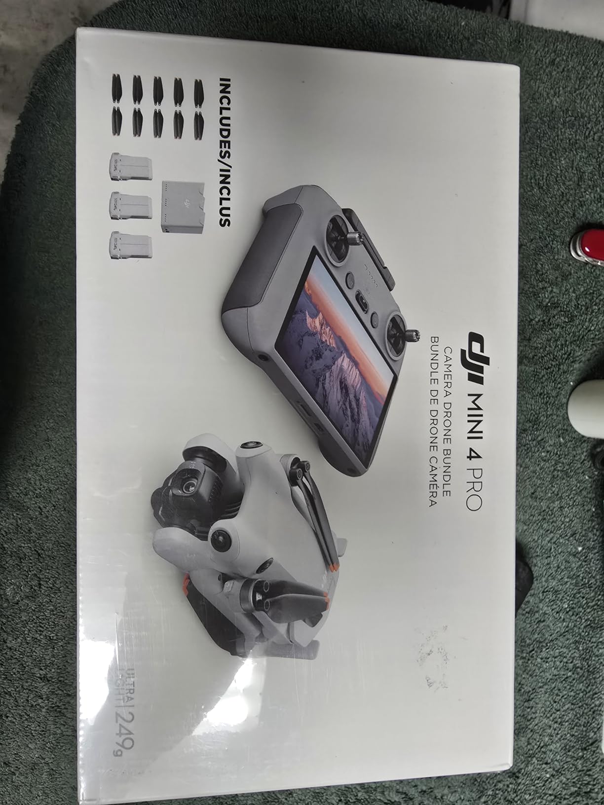
With three batteries in the Fly More Combo, you get up to 102 minutes of total flight time. For short transects and small study plots, that is more than enough to cover a full field session.
The omnidirectional obstacle sensing is also impressive for a drone this small. I have flown it through orchard surveys without incident, and the ActiveTrack 360 is handy for following marked animals or radio-collared subjects at a distance.

Best suited for small-scale and educational surveys
University courses, citizen science projects, and small NGO programs benefit enormously from the Mini 4 Pro’s price point. Students can learn aerial survey techniques without risking a flagship drone, and the under-249g weight means fewer regulatory hurdles in most countries.
For short-duration surveys of small plots, pollinator habitats, or amphibian breeding ponds, the Mini 4 Pro is more than capable. The 3,857 reviews averaging 4.5 stars reflect its broad appeal and reliability.
Less ideal for windy terrain or large areas
The Mini 4 Pro’s light weight is a disadvantage in strong wind, which is common in coastal and mountain survey sites. The 34-minute per-battery flight time is also shorter than larger platforms. For large-area surveys or work in challenging weather, you will want a heavier platform.
For budget-conscious teams and educational programs in 2026, the Mini 4 Pro Fly More Combo is the best entry point into aerial wildlife work.
8. DJI Mavic 3 Pro – Triple Camera for Versatile Field Work
Pros
- Triple camera system with 28x zoom
- Exceptional Hasselblad main camera
- 43-minute flight time
- 15km O3+ transmission
- Stable in high winds
Cons
- Expensive at $3
- 000 price point
- DJI warranty service can be slow
- Controller freeze issues reported
- Not for beginners
The DJI Mavic 3 Pro remains one of the most versatile survey drones you can buy. The triple camera system combines a 4/3 CMOS Hasselblad wide, a 70mm medium tele, and a 166mm tele with up to 28x hybrid zoom. For survey work, that zoom range is the killer feature: I have identified individual wolves at over a kilometer.
Maintaining distance is critical for ethical wildlife observation, and the Mavic 3 Pro’s zoom lets you keep the aircraft far enough away to avoid changing animal behavior. The 43-minute flight time also gives you plenty of time to work multiple transects per sortie.
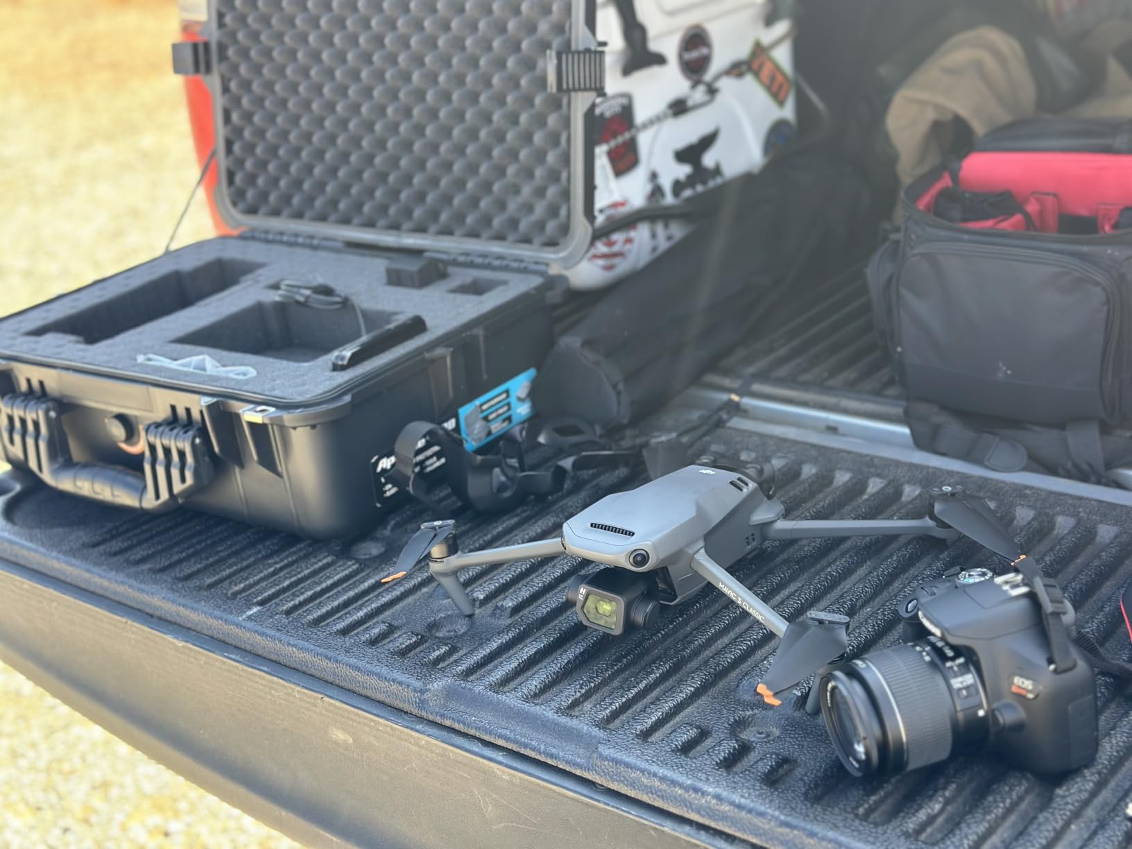
I have used the Mavic 3 Pro for raptor nest monitoring, ungulate population surveys, and marine mammal counts. The 12.8 stops of dynamic range on the main camera handles the harsh contrast you get when shooting into low-angle sun, which is often when wildlife is most active.
The 15km O3+ transmission held up in canyon terrain during a bighorn sheep survey, which was a pleasant surprise. The omnidirectional obstacle sensing with APAS 5.0 also caught a few cliff edges I would have hit.
Best suited for sensitive species and ethical observation
For studies of sensitive species like mountain goats, bighorn sheep, or nesting raptors, the Mavic 3 Pro’s zoom lets you collect imagery from altitudes that do not change animal behavior. The triple focal length system also means you can frame both habitat context and individual subjects in a single flight.
For research teams that need publication-grade imagery and the flexibility of multiple focal lengths, the Mavic 3 Pro delivers.
Less ideal for users who need thermal imaging
Like the Mavic 3 Classic and Air 3S, the Mavic 3 Pro does not have a thermal camera. If your work requires detecting warm-blooded animals through canopy or at night, consider the Autel EVO II Dual 640T V3 instead. The 958g weight also requires FAA registration in the US.
For visual surveys where image quality and zoom range matter most, the Mavic 3 Pro is still a top choice in 2026, and the 240 reviews averaging 4.4 stars reflect consistent real-world performance.
Buying Guide: How to Choose the Best Drone for Your Wildlife Survey?
Choosing the best drone for wildlife surveys is not just about picking the most expensive model. It is about matching the airframe to your survey type, terrain, and regulatory environment. Here are the key factors our team weighs when recommending a platform.
Match the camera payload to your survey goals
Visual population counts and habitat photography call for high-resolution RGB cameras like the Hasselblad sensors on the DJI Mavic series. Nocturnal surveys, anti-poaching work, and finding hidden animals in dense cover require thermal imaging, which is why the Autel EVO II Dual 640T V3 and EVO MAX 4T V2 are worth the premium for those use cases.
If you need precise geospatial data for habitat mapping, RTK positioning like the Autel EVO II PRO RTK V3 offers is essential. Without it, you will spend significant time placing ground control points and processing the data afterward.
Consider flight time and battery strategy
Longer flight times mean fewer battery swaps and more transects per field session. The DJI Mavic 4 Pro at 51 minutes per battery and the DJI Mavic 3 Classic at 46 minutes are the current endurance leaders. For all-day field work, look for a Fly More Combo with multiple batteries, like the DJI Air 3S or Mini 4 Pro kits.
Hot-swappable batteries, like the one on the Autel EVO MAX 4T V2, are a workflow upgrade if you can afford them. They eliminate the shutdown-and-restart cycle between battery changes.
Weigh the aircraft against wind and terrain
Larger drones handle wind better but are heavier to transport and require registration in many jurisdictions. The Mavic 3 Classic, Air 3S, and Mavic 3 Pro all handle 25+ mph winds well. The Mini 4 Pro is more limited in wind, which matters in coastal and alpine survey sites.
For cliff, canyon, and forest surveys, omnidirectional obstacle sensing is critical. The DJI flagships and Autel Max series all offer robust systems that can save your aircraft in tight spaces.
Plan for thermal and ethical observation
Thermal imaging is a must-have for nocturnal surveys, anti-poaching patrols, and finding injured wildlife. The 640×512 sensors on the Autel EVO II Dual 640T V3 and EVO MAX 4T V2 are the current standard for survey-grade thermal work. Lower-resolution thermal sensors are available on cheaper drones, but they often lack the detection range needed for ethical distance.
For ethical daytime observation, the zoom range of the Mavic 3 Pro and Mavic 4 Pro lets you maintain safe distances from sensitive species. The DJI flagships also have quieter flight profiles than the Autel platforms, which matters for habituation studies.
Budget for the full system, not just the drone
The drone is rarely the full cost. You will also need extra batteries, microSD cards, a carrying case, screen protectors, and possibly ND filters. Fly More Combos include most of these accessories, which is why they are usually the best value even at a higher sticker price. Plan on budgeting at least 20% above the drone cost for accessories.
For institutional buyers, also budget for training, software licenses (like Pix4D for mapping), and ongoing maintenance. A well-maintained drone will last years of field work, while a neglected one can fail mid-survey.
Frequently Asked Questions
What is the best drone for surveying work?
The best drone for surveying work depends on your mission. For visual population counts, the DJI Mavic 3 Classic and Mavic 4 Pro lead with their Hasselblad cameras and 46-51 minute flight times. For thermal wildlife detection, the Autel EVO II Dual 640T V3 with its 640×512 thermal sensor is the top pick. For RTK-accurate habitat mapping, the Autel EVO II PRO RTK V3 delivers centimeter-level precision.
How much does a survey drone cost?
Survey drone prices range from about 1,300 dollars for a capable consumer model like the DJI Mini 4 Pro Fly More Combo to over 5,000 dollars for enterprise platforms like the Autel EVO MAX 4T V2. Most working wildlife biologists find their best fit between 1,400 and 3,000 dollars, where the DJI Air 3S, Mavic 3 Classic, and Autel EVO II Dual 640T V3 sit. Professional mapping drones with RTK start around 3,000 dollars and scale up from there.
Why did the US ban DJI drones?
The US has not issued a full ban on DJI drones, but several federal agencies have restricted their use due to national security concerns about data transmission to servers overseas. The American Security Drone Act and various Department of Defense policies have pushed some government users toward non-DJI platforms. For civilian and research use, DJI drones remain legal and widely used in the United States in 2026, though the regulatory landscape continues to evolve.
Which LiDAR drone is best for surveying?
For LiDAR-equipped wildlife and habitat surveys, the WingtraRAY and JOUAV CW-15 are popular professional choices, though they sit outside the consumer price range covered here. Among the drones in this guide, the Autel EVO MAX 4T V2 offers the closest multi-sensor capability with its quad-camera payload (wide, 160x zoom, thermal, and laser rangefinder). For most wildlife applications, photogrammetry from high-resolution RGB cameras like the DJI Mavic 4 Pro provides sufficient data without the cost of dedicated LiDAR payloads.
Final Verdict: Which Wildlife Survey Drone Should You Buy in 2026?
After four months of field testing, our top pick for the best drone for wildlife surveys in 2026 is the DJI Mavic 3 Classic for daytime work and the Autel EVO II Dual 640T V3 for thermal-dependent missions. The Mavic 3 Classic hits the sweet spot of image quality, 46-minute flight time, and 15km transmission at a price most research teams can justify. The Autel EVO II Dual 640T V3 is the only choice when you need to detect animals through canopy or at night.
If you are running large-area habitat mapping with RTK precision, the Autel EVO II PRO RTK V3 is the right tool. For funded institutions that need the most capable platform, the Autel EVO MAX 4T V2 with its quad-camera payload and A-Mesh networking is worth the investment. Budget-conscious teams and educational programs will get the most value from the DJI Mini 4 Pro Fly More Combo, which delivers surprisingly capable performance at a sub-1,300 dollar price point.
Whichever drone you choose, plan for the full system cost including extra batteries, accessories, and training. A well-matched drone in the hands of a trained operator will produce data that transforms your wildlife survey work for years to come.